Drawing Ride 3
Bicycling across Nebraska, a distance of approximately 300 miles.

Snapshot of Drawing Ride 3 route, from the Great American Rail Trail map.
We began Drawing Ride 3 in late May of 2019, not far from the Wyoming border in northwest Nebraska after a spring of tremendous rain and flooding across the midwest. Caught in a thunder and hail storm that first evening we spent the night at Fort Robinson State Park, a former U.S. Army fort and national historic landmark: site of the Sioux Indian Wars, the killing of chief Crazy Horse, and the Fort Robinson massacre (of Chief Morning Star and his tribe of Northern Cheyenne peoples). A few years after these events the Buffalo Soldiers were stationed there. Continuously repurposed in the intervening years, during World War II it became a German Prisoners of War camp. Now it’s a … park.
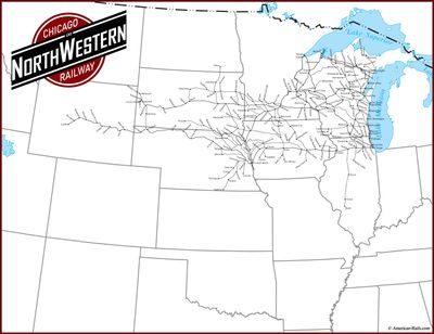
A few miles east of Fort Robinson State Park in Rushville, Nebraska, the Cowboy Recreation and Nature Trail begins, our starting point (west of Rushville the rail line is as yet undeveloped, excepting the 3-mile White River Trail near Crawford). Following the route of the old Chicago and Northwestern Railway the Cowboy Trail is one of the longest rail-trails in the United States at 203 miles (with plans to expand westward 100 additional miles to Chadron). The trail is named after the railroad’s nickname, the Cowboy Line, a famed line so called for running through northern Nebraska, a vital part of the old West, with its cattle runs, cowboys, local ranchers, and (settler colonial) homesteading. A dusty, plains filled country. In its heyday, the C&NW maintained a network through Wisconsin, Iowa, Nebraska, South Dakota, Illinois, Missouri, Michigan, North Dakota, and Wyoming. Freight trains carried potatoes, sugar beets, corn and wheat, among other products. The Nebraska stretch of rail line was abandoned by the railway in 1992 and converted to a trail.
That first day we rode the westernmost part of the trail, 14 miles from Rushville to Gordon, and then caravanned to the small town of Valentine, where we camped in the city park. From Valentine to the endpoint in Norfolk, the trail is continuous. Depending on the terrain and our next campsite, we rode from 25-45 miles per day. We passed through small towns approximately every 30 miles. Everywhere we saw evidence of the spring flooding, often riding alongside giant pools of water, flocks of birds rising out of the waters, passing gnarled tree trunks and debris in the many rivers, or re-routing around damaged bridges. Just east of Valentine we crossed the Niobrara river on a quarter mile trestle high over the river valley, and near Lone Pine rode through the Sandhill dunes, gorgeous, rolling, grass covered prairie. More than 200 bridges dot the former railroad line. As we rode further east the landscape gradually changed, becoming more agricultural, filled with cattle farms and feedlots. Cows and horses were our primary audience.
-
Mickelson Trail, South Dakota
-
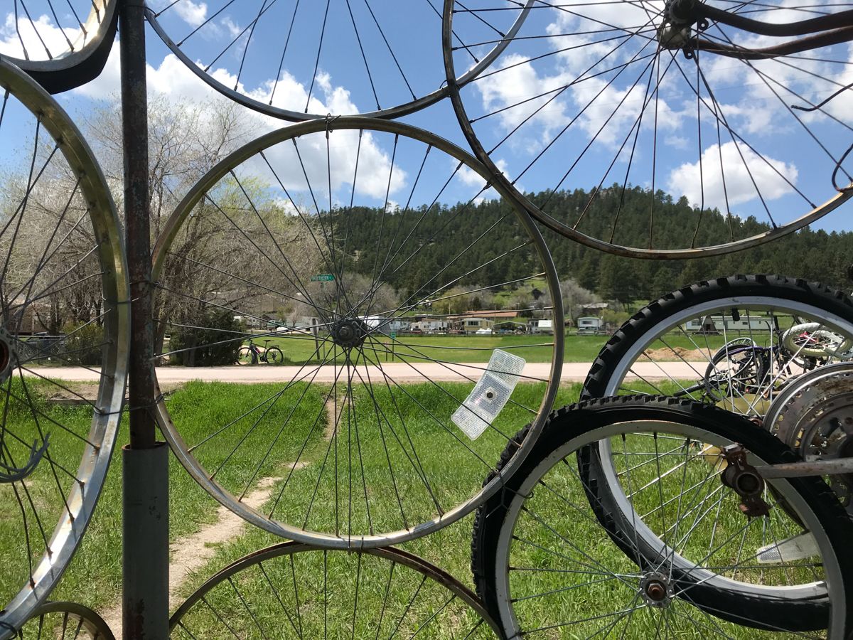
Mickelson Trail, South Dakota, bicycle sculpture
-
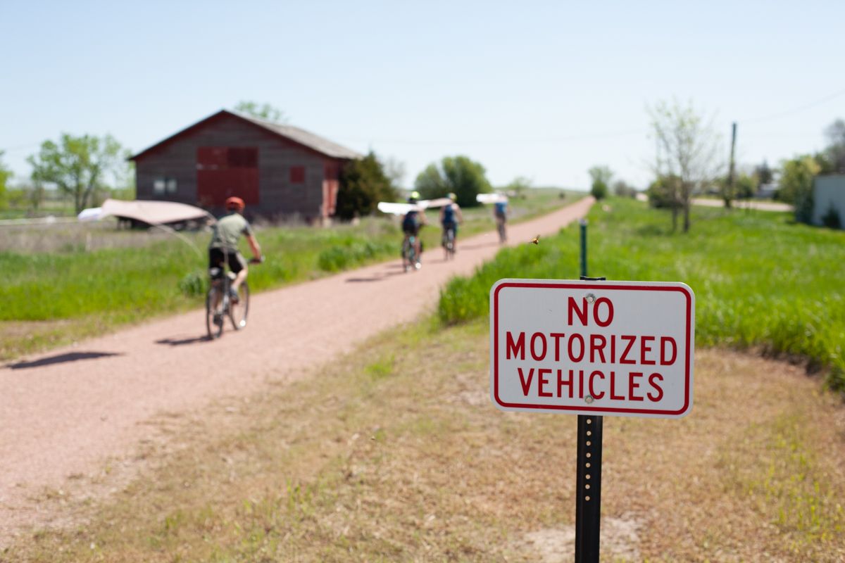
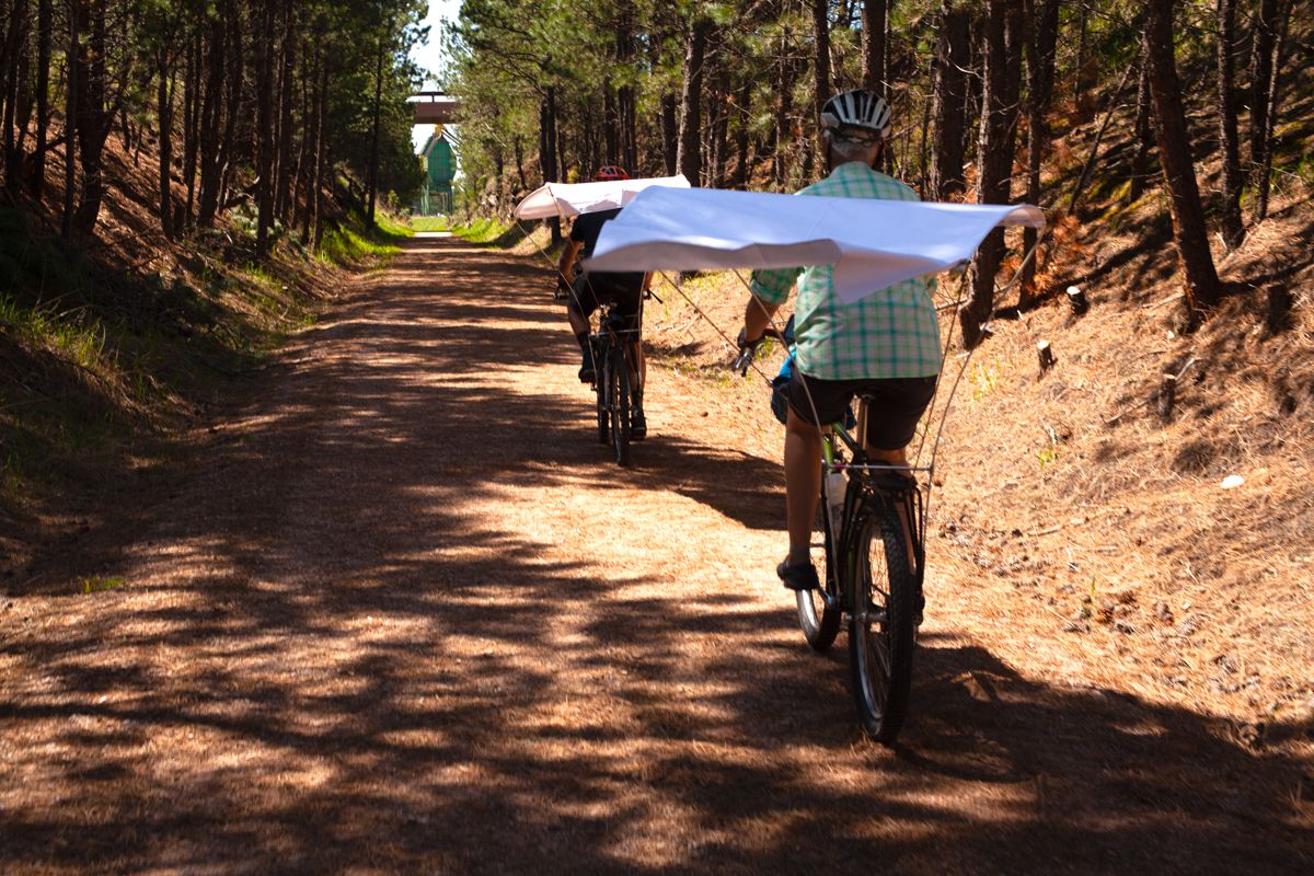
Cowboy Trail, Western Nebraska
-
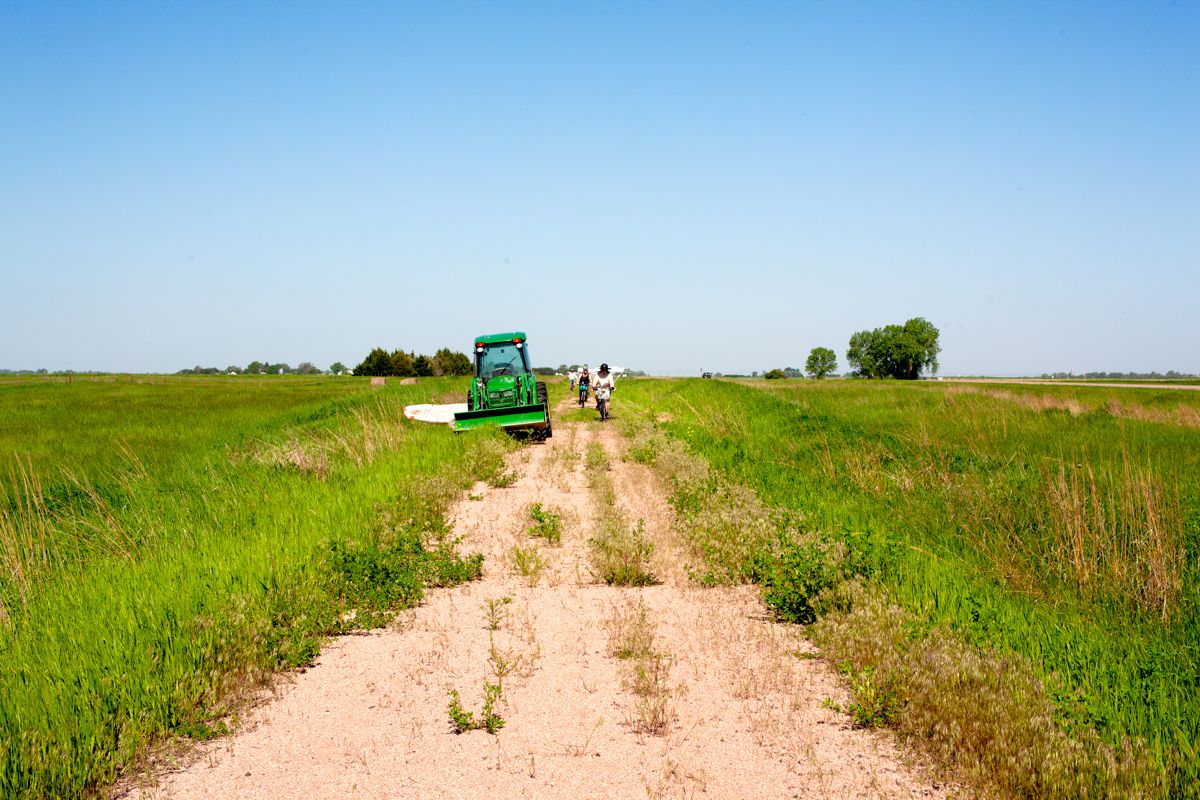
Cowboy Trail, Western Nebraska, mower
-

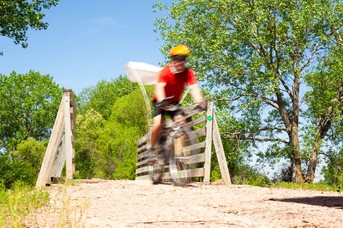
Cowboy Trail, central Nebraska
-
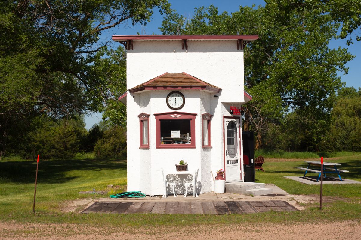
Cowboy Trail, central Nebraska, Newport Town Hall
-
![Cowboy Trail, central Nebraska]()
Cowboy Trail, central Nebraska
At the end of the Cowboy Trail, in Norfolk, a patchwork of trails — with a few gaps along the route — took us south to Lincoln and then northeast to our final destination, Omaha. From Norfolk we caravanned south to the next trail, the rural Oak Creek Trail, a former Union Pacific Railroad corridor. Leapfrogging to the outskirts of Lincoln, we rode several short, connected trails to the MoPac Trail West and the MoPac East Trail. After another gap we crossed the Platte River to the Mopac Trail. The landscape along this stretch is alternately woodsy and farmland, filled with oak and other deciduous trees, a transition from the prairie of western Nebraska. We rode through canopies of green and light. The next longer trail is the West Papio Trail, which follows Papillion Creek and connects to the Keystone Trail; both trails run through the outskirts of Omaha with a corresponding shift to industrial and urban textures. North of the Keystone Trail a series of short, adjoining trails took us into Omaha, where we rode a few miles through the downtown streets to the magnificent Bob Kerrey Pedestrian Bridge over the Missouri River and into Council Bluffs, Iowa, our end point for Drawing Ride 3.
-
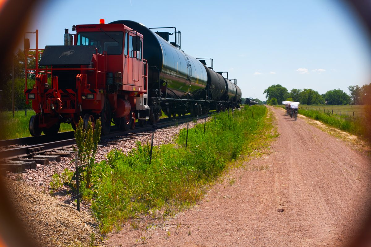
Cowboy Trail, central Nebraska, rail with trail
-
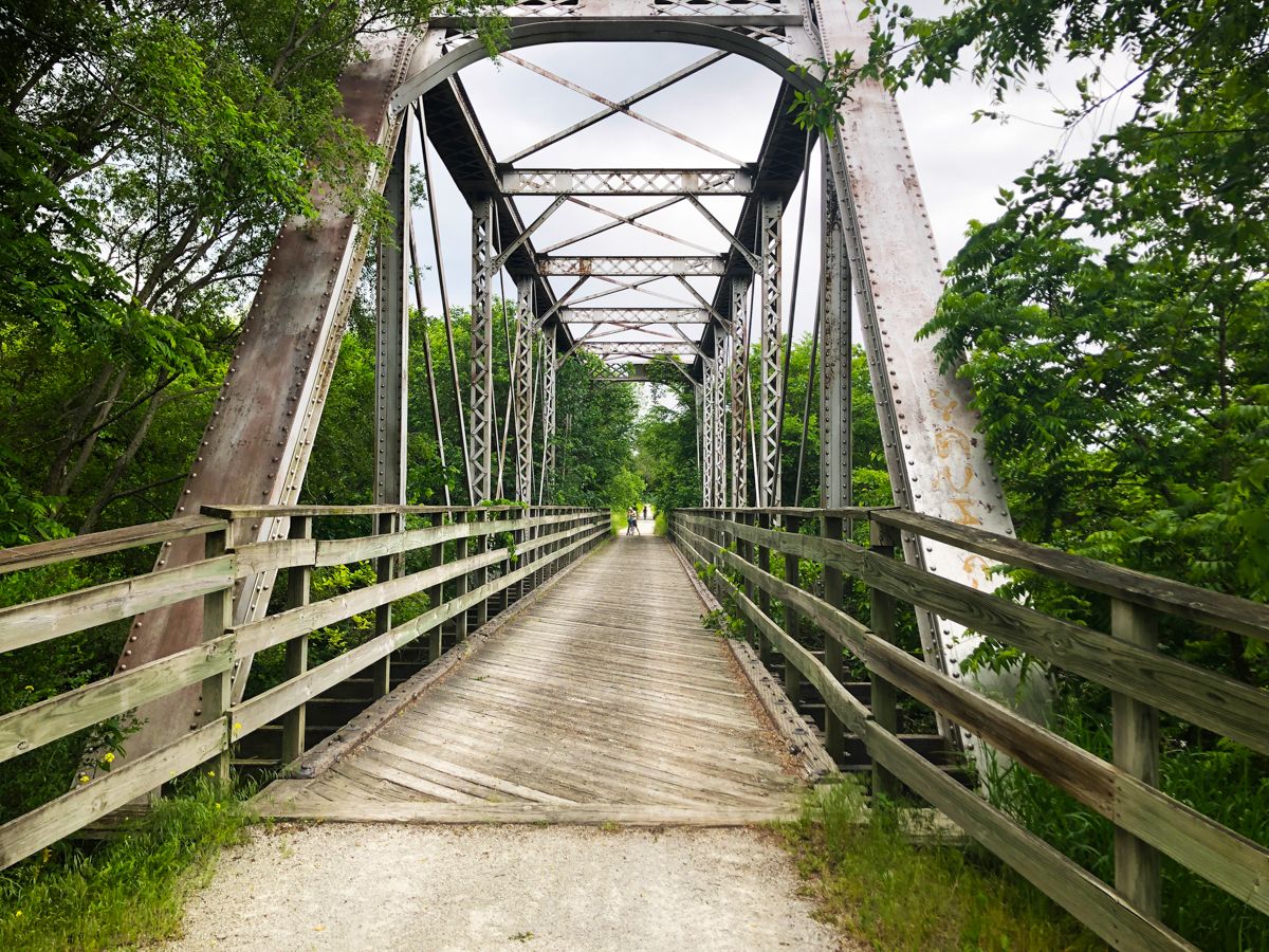
Oak Creek Trail, trestle
-
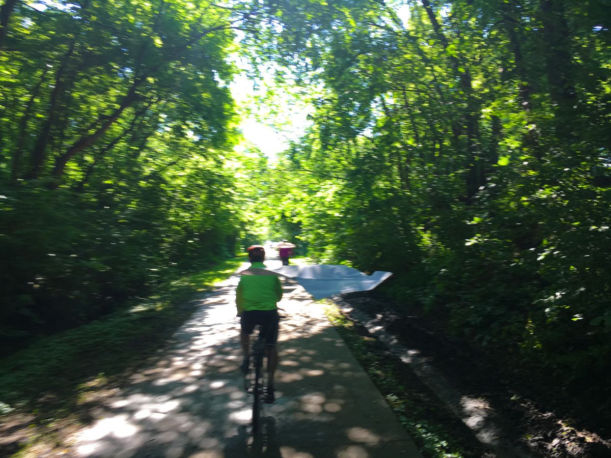
Mopac Trail
-
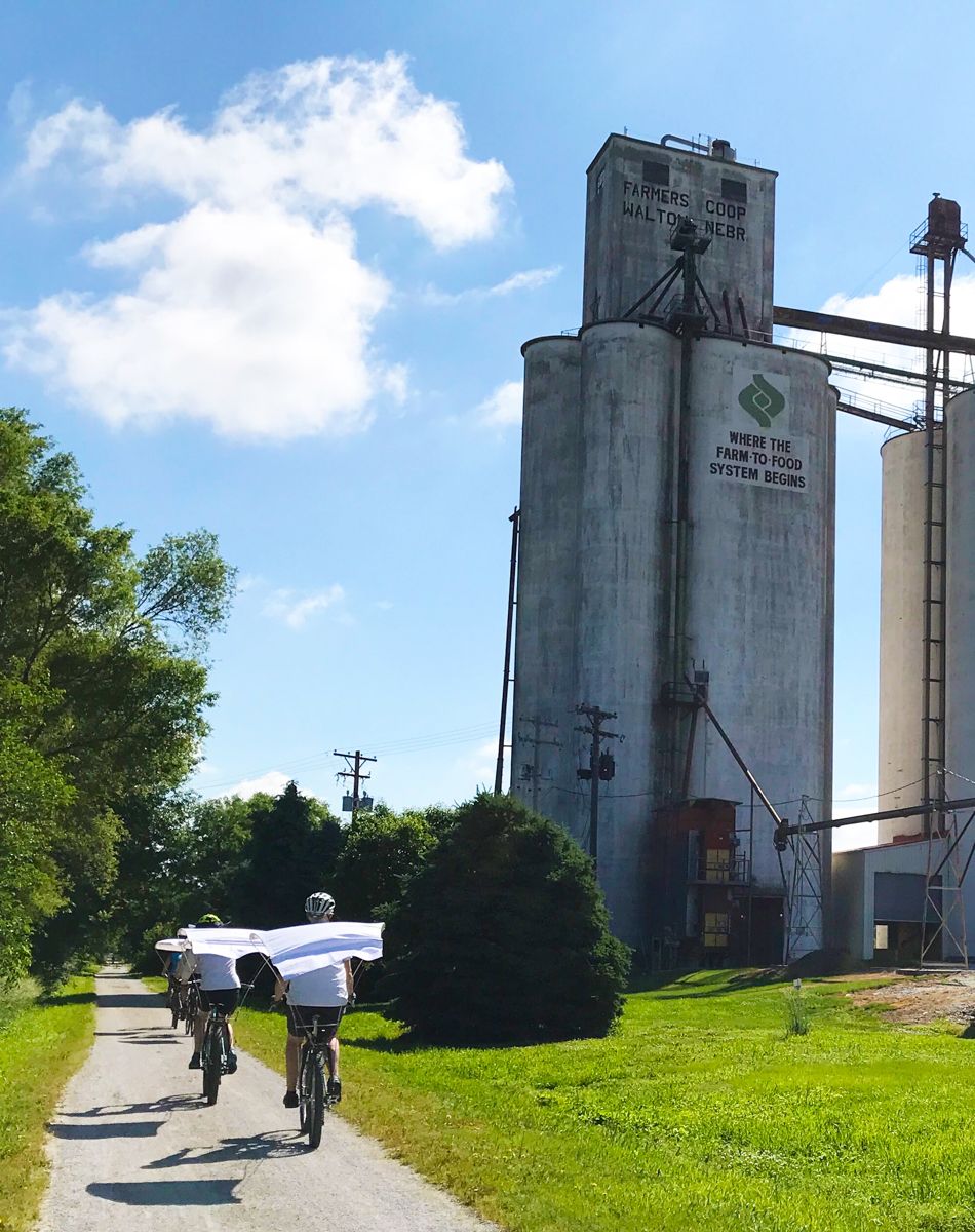
West Papio Trail, grain storage
-
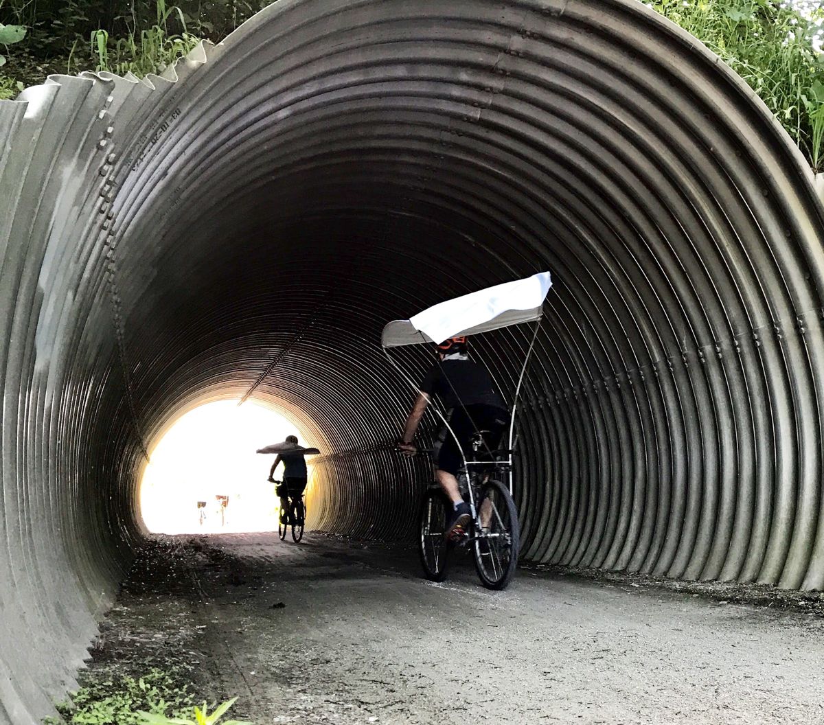
Keystone Trail, tunnel